-
-
Head office+91 8828004949
-
Mumbai+91 8591064044
-
Pune+91 9359236135
-
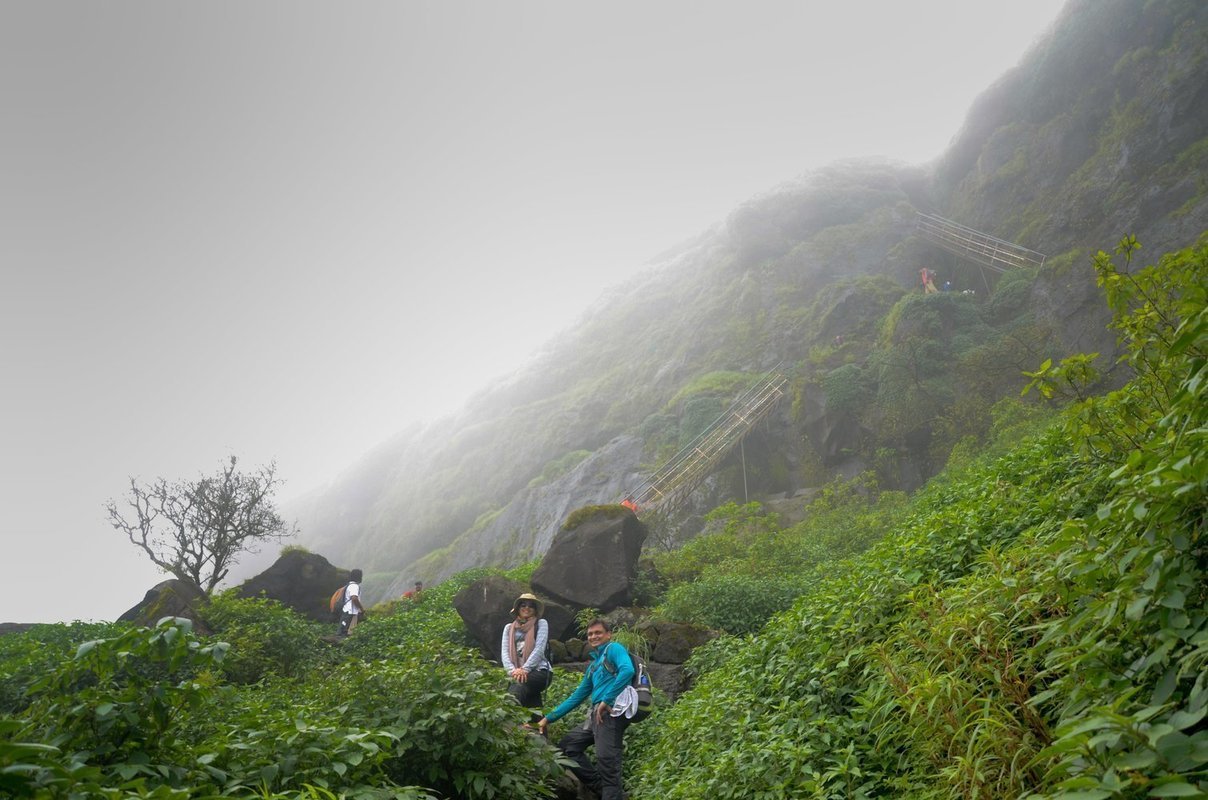
Nestled in the Western Ghats, Igatpuri is a beautiful Maharashtra town known for its stunning natural environment. If you're looking for a nature-based escape, Igatpuri is the perfect place to go. There are plenty of trekking and camping opportunities in the area, and you'll be able to enjoy some of the best views in the state. Your tour will be fully hosted, with meals and transportation included.
Be Safe and Prepared for Your Next Adventure with Treks and Trails India resources. We provide you with current information on Igatpuri hiking trails, gear, navigation, safety advice, and general information on hiking.
Never stop exploring!
Trekking in Igatpuri
Kavnai Fort Trek - Easy Trek in Igatpuri
Easy hike in Igatpuri Kavnai Fort is situated on a hilltop north of Kavanai Village. The only buildings left are the main gate and a tiny pond. You can easily reach the trailhead from Ghoti toll by car.
A road links Igatpuri and Kavanai village. The distance to Igatpuri is 18 kilometers. Kavnai village is close to Kapilatirth. A ridge that begins at Kavanai is followed as one ascends to the fort. Poorly-cut stairs on the last rise are vertical and are divided by a ladder.
The best time to visit the fort is during the rainy season. Many wildflowers bloom at the top of the fort. There are many water tanks available on top of the fort. It will take you 45 minutes to complete this trek.
Anjaneri Fort Trek or Anjaneri Parvat Trek
Anjaneri is one of the forts in the Igatpuri-Nasik-Trimbakeshwar mountain range. Trimbak Road connects Anjaneri with Nasik 20 kilometers distant. It is a well-liked hiking location, particularly during the rainy season.
Anjaneri, a significant fort in the Trimbakeshwar area, is a feature of Nasik City. It is located between Nasik and Trimbakeshwar at the height of 1,300 meters or 4,264 feet. Lord Hanuman Ji is said to have been born in Anjaneri, which bears his mother Anjani's Mata Ji name.
Here, 108 Jain caves from the 11th and 12th centuries may be discovered.Veersen Ahir, also called Abhir, formerly controlled the region surrounding Anjaneri for a short period, designating it as his capital.
Following section 36A of the Wildlife Protection Act of 1972, Anjaneri was designated as a conservation reserve in 2017. The reserve has a total area of 5.69 square kilometers. Camera, Drone, Dslr, and Action camera are not allowed on this trek. You can take pictures using only Mobile cameras.
The mountain is famous for wildflowers, temples, and monkeys. There is a huge population of monkeys on this mountain; please pack your things properly while trekking to avoid being bullied by monkeys.
A small Dhaba is available on the summit; it offers basic snacks like Poha and Tea. The fort offers amazing 360 panoramas of the nearby region.
Kalsubai Trek - Highest Peak of Maharashtra
Kalsubai is the highest mountain in Maharashtra and offers stunning 360-degree views of Igatpuri. The beautiful forest and extreme weather make it a popular trekking destination. The most challenging part of the trek is walking under the stars, but it is also the best part. Many people come to Igatpuri to experience the windy, extreme weather and to challenge themselves on this difficult trek.
Harihar Fort Trek
Harihar fort trek is one of the most popular treks in Igatpuri and is known for its tough terrain and beautiful views. The trek starts from the base village of Harshewadi and takes you through a dense forest to the top of the fort. The main attraction of the trek is the rock-cut steps which are extremely challenging to climb. The views from the top of the fort are breathtaking, and you can see them for miles around. The trek is best done in winter when the weather is cooler, and you can camp out under the stars.
The Harihargad Trek is often banned during monsoon due to the large trekking crowds. It can be risky during the weekends as thousands of hikers visit the fort on Saturday and Sunday in the rainy seasons. Harihar Fort Trek 2022 was banned by the forest office due to overcrowding and bad weather in the region.
Ratangad Trek
Ratan means Jewel in Hindi. This hill fort is the jewel in all the hill forts here in Sahyadri. It is located in the Ahmednagar district, about 4255 feet above sea level.
It lies in the Ajoba mountain range, surrounded by the great mountains of Kulang, Alang, Kalsubai, Katarabai, Ajoba, and Ghanchakkar. Geographically Ratangad is at the banks of Bhandardara lake of Ahmednagar district.
With views of the lake and the highest mountains, Sahyadris looks lost in time. At the base of this fort is the ancient Lord Shiva Amruteshwar temple. About 1000 years old temple of Lord Shiva, the Amruteshwar Temple at Ratanwadi, is an absolute pinnacle of the high-class architecture of our ancestors.
Harishchandragad Trek
Harishchandragad is one of the best high forts near Mumbai, Maharashtra. Strong fortifications of this fort have multiple entry routes such as the Junnar gate route, Sadhale ghat, Nalichi wat, and Indore Vaat.
The carvings on the temples of Nageshwar in Khireshwar village, in the Harishchandreshwar temple, and in the cave of Kedareshwar indicate that the fort belongs to the medieval period since it is related to Shaiva, Shakta, or Naath. Later the fort was under the control of Moghuls. The Marathas captured it in 1747. Main attractions on Fort: Sapta Tirta Pushkarini, Kedareshwar Cave, Konkan Kada - Konkan cliff, Taramati peak, Temple of Harishchandreshwar.
Katrabai Peak Trek
Katrabai has the highest rock exposure in sahyadri. Katrabai could show chilling nights even in the month of May.
One can see vast expanse of Harishchandragad, Karkai, Kunjargad, Balubai peak, Naphta Peak, ghodishep to the south Ajoba, Karanda to the west and ,Muda, Gawaldeo, Ghanchakkar to the east, Ratangad, Alang, Madan, Kulang, Kirda peak, Sakira, Kalsubai, Pandhara mountain to the north.


