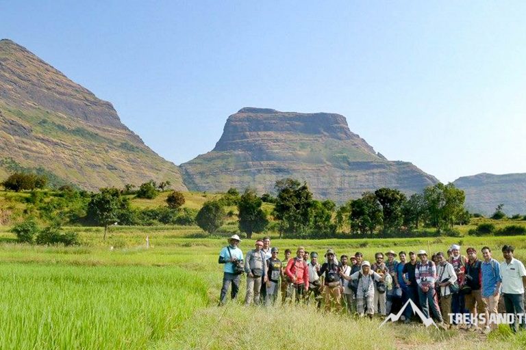
Salher Fort
Salher Fort Type – Hill Fort Salher Fort Height – 5140 feet Fort Salher Range – Selbari – Dolbari District Salher Fort – Nashik Salher Trek Difficulty Grade Medium Food Arrangement required Water Available on Salher Fort Accommodation Caves available for night stay
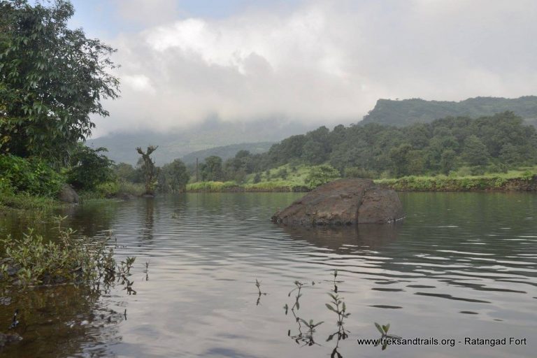
Ratangad Fort Trek | Jewel Fort Maharashtra
Ratangad Fort is a Hill Fort, located at the height of 4255 feet above sea level. Base village for the fort are Samrad village near Ghatghar and Ratanwadi village. The durg located in Harishchandragad Kalsubai forest sanctuary it is often visited by campers who camp
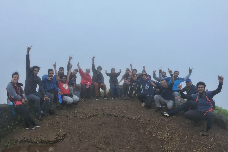
Rajmachi Fort Trek Blog with Treks And Trails India
Rajmachi Fort consists of two forts Shrivardhan fort and Manaranjan Fort. It is about 16 km of trekking distance from Lonavala. Historically, Rajmachi fort was a strategic fort to control Bor ghat between Khopoli and Khandala on Mumbai – Pune route which was a historical
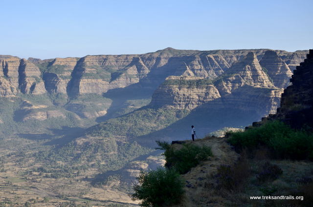
Raigad Fort Trek Blog
We started our journey from Dadar Swami Narayan Mandir at 11:00 pm. We took the Pune Expressway to avoid the traffic at Vadkhal Naka. You need to exit after Toll Naka towards Khopoli and take the first right towards Adlabs Imagica in Khalapur road till
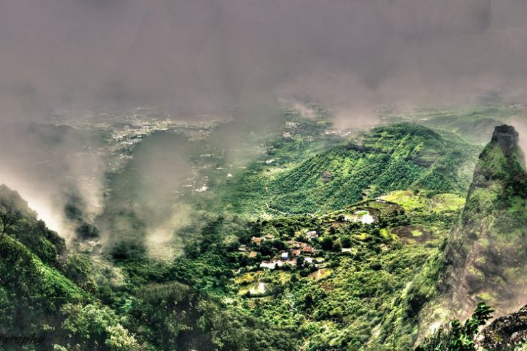
Prabalgad Fort Trek
Prabalgad Fort located between Matheran and Panvel; the trek can be completed in one day. Prabalmachi trek is more enjoyable with camping at Prabalmachi village. Prabalgad built at the height of 2300 feet above sea level in the Sahyadris Mountain Range, Prabalgad Fort settled on
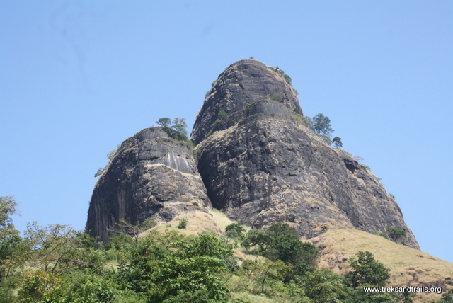
Sarasgad Fort Trek blog speed climbing
Sarasgad Fort Trek Blog impromptu plan Boss: Are in for a task Me: Yes Boss: One participant – Bucket list Me: Name it Boss: Sarasgad Me: I am in Boss: Pack your bag you leave tonight Me: Its Friday tomorrow Boss: come back before noon,
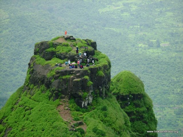
Overnight camping at Kalavantin Durg trek blog a Double Delight
Treks and Trails for the first time conducted overnight trek to Kalawantin Durg. This trek has one famous story that we always share when Treks and Trails go trekking to Kalavantin. Overnight trek to Kalavantin was a going to be a different experience for sure.
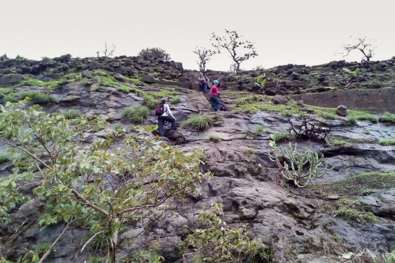
Asherigad Fort Trek Blog
So finally the day had arrived for Asherigad Fort Trek. As it was a trek on the western side, it was decided to use the public transport local trains and tum-tums. Waking up early we all boarded the Dahanu local from our railway stations and
Mulher Fort Trek Blog
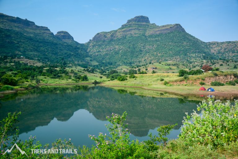
About Mulher Fort The village of Mulher Mayur Nagari is located on the right south bank of the Mousam River, 3.5 km by road east downstream of the village of Vide Digar and the Haranbari Dam. It is 9 km by road west upstream of
Mangi Tungi Blog
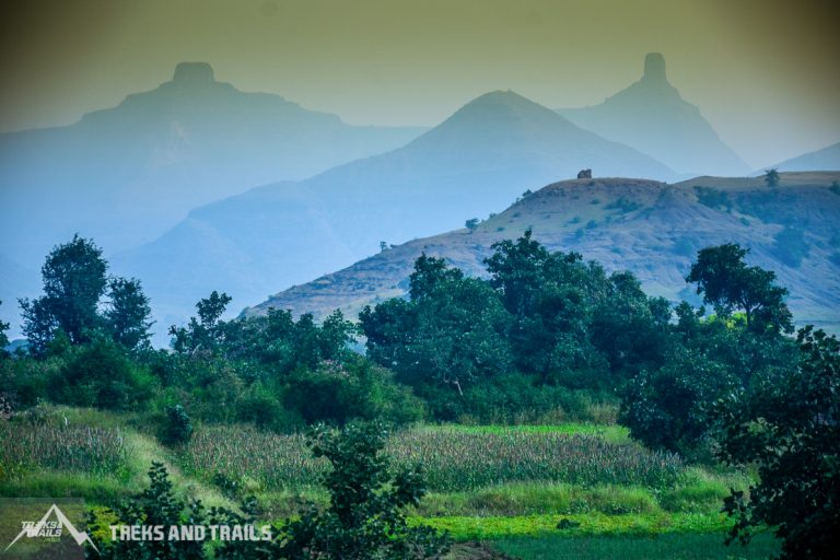
About Mangi Tungi Mangi Tungi Region Baglan Tehsil Mangi Tungi Base Village Bhilwadi Mangi Tungi District Nashik Mangi peak height 4343 feet Tungi peak Height 4366 feet Mangi Tungi Range: Selbari-Dolbari Mangi Tungi Trek Grade Easy Water No water facility on the fort route, one
